The Britannia, 376, High Street, Rochester
Introduction
The photograph on this page of The Britannia, 376, High Street, Rochester by John Baker as part of the Geograph project.
The Geograph project started in 2005 with the aim of publishing, organising and preserving representative images for every square kilometre of Great Britain, Ireland and the Isle of Man.

There are currently over 7.5m images from over 14,400 individuals and you can help contribute to the project by visiting https://www.geograph.org.uk
The Britannia, 376, High Street, Rochester
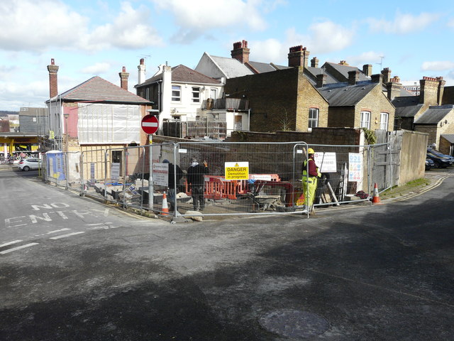
Image: © John Baker Taken: 26 Feb 2020
Viewed from St Bartholomew’s Lane, planning permission has been approved, with conditions, by Medway Council under application number MC/19/2799 for the “change of use of existing public house and associated flat over to four 2-bedroom flats with associated two storey rear extension and internal alterations (demolition of existing single storey rear projections)”. This view shows the front of Image
Images are licensed for reuse under creativecommons.org/licenses/by-sa/2.0
Image Location
Latitude
51.38303
Longitude
0.515734