
IMAGES TAKEN NEAR TO
Anatase Close, SITTINGBOURNE, ME10 5AN
Introduction
This page details the photographs taken nearby to Anatase Close, ME10 5AN by members of the Geograph project.
The Geograph project started in 2005 with the aim of publishing, organising and preserving representative images for every square kilometre of Great Britain, Ireland and the Isle of Man.

There are currently over 7.5m images from over14,400 individuals and you can help contribute to the project by visiting https://www.geograph.org.uk
Image Map
Images are licensed for reuse under creativecommons.org/licenses/by-sa/2.0
Notes
- Clicking on the map will re-center to the selected point.
- The higher the marker number, the further away the image location is from the centre of the postcode.
Image Listing (18 Images Found)
Images are licensed for reuse under creativecommons.org/licenses/by-sa/2.0
Image
Details
Distance
1
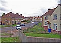
The Meads Avenue
Until recently, this 1940's-built estate stood strangely isolated amid arable fields. Now, the rapid expansion of Sittingbourne has seen the fields disappear under new roads and housing developments.
Image: © Richard Dorrell
Taken: 29 Mar 2008
0.06 miles
2
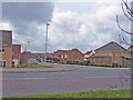
Sonora Way
Seen from the junction with Quinton Road.
This part of the new development is known locally as Sonora Fields - but the fields are gone!
Image: © Richard Dorrell
Taken: 29 Mar 2008
0.08 miles
4
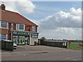
Newz and Viewz, Quinton Road
I don't doubt the owner of this little rural store rubbed his hands with glee when the nearby Sonora Fields housing estate was built.
Image: © Richard Dorrell
Taken: 29 Mar 2008
0.12 miles
5
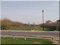
Footpath crossing Argent Way
This wide grass path leads from Emerald Crescent, through a large housing estate towards Vicarage Road.
Image: © David Anstiss
Taken: 22 Mar 2012
0.14 miles
6
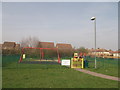
Amethyst Drive Play Area, Milton Regis
This small play area is on a footpath between Amethyst Drive and the Meads Avenue.
Image: © David Anstiss
Taken: 22 Mar 2012
0.14 miles
7
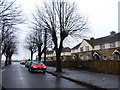
Knightsfield Road, Quinton, Milton Regis
Image: © Chris Whippet
Taken: 23 Feb 2010
0.16 miles
9
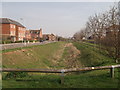
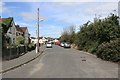
Ditch and footpath, beside Jacinth Drive, Milton Regis
This ditch leads to Argent Road, beside it a wide grass path leads from Emerald Crescent, through a large housing estate towards Vicarage Road.
Image: © David Anstiss
Taken: 22 Mar 2012
0.17 miles
10
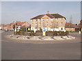
Roundabout on Jacinth Drive, Milton Regis
As seen from close to Emerald Crescent.
Image: © David Anstiss
Taken: 22 Mar 2012
0.18 miles