
IMAGES TAKEN NEAR TO
Recreation Way, SITTINGBOURNE, ME10 2TG
Introduction
This page details the photographs taken nearby to Recreation Way, ME10 2TG by members of the Geograph project.
The Geograph project started in 2005 with the aim of publishing, organising and preserving representative images for every square kilometre of Great Britain, Ireland and the Isle of Man.

There are currently over 7.5m images from over14,400 individuals and you can help contribute to the project by visiting https://www.geograph.org.uk
Image Map
Images are licensed for reuse under creativecommons.org/licenses/by-sa/2.0
Notes
- Clicking on the map will re-center to the selected point.
- The higher the marker number, the further away the image location is from the centre of the postcode.
Image Listing (57 Images Found)
Images are licensed for reuse under creativecommons.org/licenses/by-sa/2.0
Image
Details
Distance
2
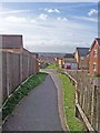
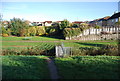
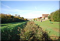
Footpath to Church Milton
Until recently, this footpath crossed an open field. Now it follows its original line through the middle of a housing estate.
Image: © Richard Dorrell
Taken: 2 Mar 2008
0.05 miles
5
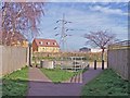
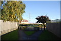
Choose your exit
This is the Kemsley end of a footpath from Church Milton. The footpath user has a choice of a tight squeeze to the left, a slightly less tight squeeze to the right, or the negotiation of a kind of kissing gate in the middle. I wonder how a mum gets her push chair through there...?
Image: © Richard Dorrell
Taken: 2 Mar 2008
0.06 miles
6
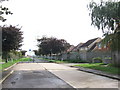
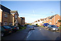
Ridham Avenue, Kemsley
This road used to access the paper mill at Kemsley meaning all through traffic had to travel through the village. It has now been by-passed.
Image: © Chris Whippet
Taken: 6 Oct 2010
0.07 miles
10
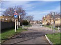
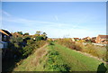
A new end to Ridham Avenue
Sittingbourne's new Northern Relief Road has bypassed Kemsley village, which means that the eastern end of Ridham Avenue (seen here) no longer needs to be a through road. Access remains for pedestrians and cyclists.
Image: © Richard Dorrell
Taken: 2 Mar 2008
0.08 miles