IMAGES TAKEN NEAR TO
Valenciennes Road, SITTINGBOURNE, ME10 1EN
Introduction
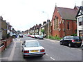
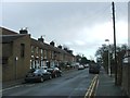
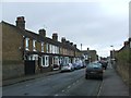
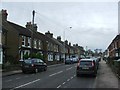
This page details the photographs taken nearby to Valenciennes Road, ME10 1EN by members of the Geograph project.
The Geograph project started in 2005 with the aim of publishing, organising and preserving representative images for every square kilometre of Great Britain, Ireland and the Isle of Man.

There are currently over 7.5m images from over14,400 individuals and you can help contribute to the project by visiting https://www.geograph.org.uk
Image Map
Images are licensed for reuse under creativecommons.org/licenses/by-sa/2.0
Notes
- Clicking on the map will re-center to the selected point.
- The higher the marker number, the further away the image location is from the centre of the postcode.
Image Listing (42 Images Found)
Images are licensed for reuse under creativecommons.org/licenses/by-sa/2.0
Image
Details
Distance
7
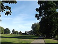
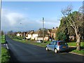
Path towards Avenue of Remembrance, Sittingbourne
This path leads from Capel Road, past the large Albany Road Recreational Ground.
Image: © David Anstiss
Taken: 6 Sep 2012
0.13 miles
9
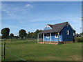
Blue Sports Pavilion, Sittingbourne
Small tennis pavilion near the tennis courts in a large sports club grounds.
Image: © David Anstiss
Taken: 6 Sep 2012
0.13 miles