
IMAGES TAKEN NEAR TO
Wing Road, LEIGHTON BUZZARD, LU7 2PG
Introduction
This page details the photographs taken nearby to Wing Road, LU7 2PG by members of the Geograph project.
The Geograph project started in 2005 with the aim of publishing, organising and preserving representative images for every square kilometre of Great Britain, Ireland and the Isle of Man.

There are currently over 7.5m images from over14,400 individuals and you can help contribute to the project by visiting https://www.geograph.org.uk
Image Map
Images are licensed for reuse under creativecommons.org/licenses/by-sa/2.0
Notes
- Clicking on the map will re-center to the selected point.
- The higher the marker number, the further away the image location is from the centre of the postcode.
Image Listing (71 Images Found)
Images are licensed for reuse under creativecommons.org/licenses/by-sa/2.0
Image
Details
Distance
1
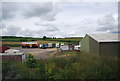
Caravans and trailers parked by the West Coast Main line
Image: © N Chadwick
Taken: 10 Jun 2011
0.01 miles
2
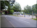
Wing Road Railway Bridge
View of mainline railway bridge over Wing Road. Alongside is Ashtons vehicle repair site
Image: © D Leonard
Taken: 23 Jun 2019
0.02 miles
3
Train glimpsed from the Wing Road roundabout
Image: © Basher Eyre
Taken: 8 Sep 2011
0.03 miles
5
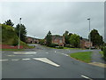
Looking from Cedars Way across the Wing Road roundabout towards Stephenson Close
Image: © Basher Eyre
Taken: 8 Sep 2011
0.07 miles
6
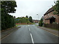
Looking from Cedars Way towards the Wing Road roundabout
Image: © Basher Eyre
Taken: 8 Sep 2011
0.08 miles
7
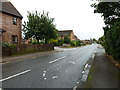
Looking south-southeast along Cedars Way
Image: © Basher Eyre
Taken: 8 Sep 2011
0.08 miles
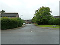
9
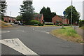
Crossroads on Wing Road, Leighton Buzzard
This was on the branch line joining nearby Leighton Buzzard Station and has now been built over.
Image: © David Howard
Taken: 18 Jun 2023
0.08 miles
10
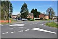
Site of Wing Road Crossing
The Leighton Buzzard to Dunstable North branch of the London & North Western Railway (L&NWR) used to cross Wing Road immediately beyond this roundabout. The line began at Leighton Buzzard Station and passed along the aptly named Stephenson Close to cross Wing Road at this point. George and Robert Stephenson were engineers for the construction of the Dunstable branch. The line, opened in 1848, closed to passengers in 1965 and goods in 1967.
Image: © Bob Walters
Taken: 20 Apr 2022
0.09 miles