IMAGES TAKEN NEAR TO
Whitby Road, LUTON, LU3 1BQ
Introduction
This page details the photographs taken nearby to Whitby Road, LU3 1BQ by members of the Geograph project.
The Geograph project started in 2005 with the aim of publishing, organising and preserving representative images for every square kilometre of Great Britain, Ireland and the Isle of Man.

There are currently over 7.5m images from over14,400 individuals and you can help contribute to the project by visiting https://www.geograph.org.uk
Image Map
Images are licensed for reuse under creativecommons.org/licenses/by-sa/2.0
Notes
- Clicking on the map will re-center to the selected point.
- The higher the marker number, the further away the image location is from the centre of the postcode.
Image Listing (15 Images Found)
Images are licensed for reuse under creativecommons.org/licenses/by-sa/2.0
Image
Details
Distance
1
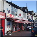
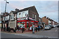
Bury Park Post Office, Dunstable Road, Luton
Bury Park is a bustling shopping and business area for a predominantly Pakistani community. The postbox outside, out of shot, is LU1 33.
Image: © Robin Stott
Taken: 24 Feb 2017
0.14 miles
2
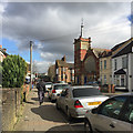
Waldeck Road and Bury Park United Reformed Church, Luton
The church is "1895-1903 by G Baines in neo-decorated and perpendicular style", listed Grade II https://www.historicengland.org.uk/listing/the-list/list-entry/1114638 . A closer but distorted view is Image
Image: © Robin Stott
Taken: 24 Feb 2017
0.15 miles
3
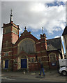
Bury Park United Reformed Church, Waldeck Road, Luton
The church is "1895-1903 by G Baines in neo-decorated and perpendicular style", listed Grade II https://www.historicengland.org.uk/listing/the-list/list-entry/1114638 . The setting is Image
Image: © Robin Stott
Taken: 24 Feb 2017
0.16 miles
5
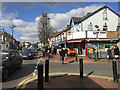
Bustling Bury Park along Dunstable Road, Luton
A shopping and social area for the Pakistani and Afghan communities. I felt like a minority. The busy A505 Dunstable Road connects with the M1 at Junction 11 to the west. The shop Ujan Bhat is on the corner of Waldeck Road.
Image: © Robin Stott
Taken: 24 Feb 2017
0.17 miles
8
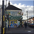
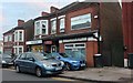
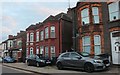
Corner shop, Dunstable Road, Bury Park, Luton
At the corner with Ash Road, right. The frontage is crowded with signs such as Srilankan Tamil Shop, Asian Food Store, Johal Food Store, Off Licence, Western Union, Moneygram, Cash Machine, Pay Point, Sea Food, Vegetables & Groceries. Bury Park is a bustling, mainly Pakistani, business and shopping area northwest of the town centre.
Image: © Robin Stott
Taken: 24 Feb 2017
0.20 miles
9
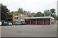
Luton fire station
Luton fire station, Studley Road, Luton, Bedfordshire
Image: © Kevin Hale
Taken: 7 Oct 2007
0.20 miles