IMAGES TAKEN NEAR TO
Nippet Lane, LEEDS, LS9 7QD
Introduction
This page details the photographs taken nearby to Nippet Lane, LS9 7QD by members of the Geograph project.
The Geograph project started in 2005 with the aim of publishing, organising and preserving representative images for every square kilometre of Great Britain, Ireland and the Isle of Man.

There are currently over 7.5m images from over14,400 individuals and you can help contribute to the project by visiting https://www.geograph.org.uk
Image Map
Images are licensed for reuse under creativecommons.org/licenses/by-sa/2.0
Notes
- Clicking on the map will re-center to the selected point.
- The higher the marker number, the further away the image location is from the centre of the postcode.
Image Listing (141 Images Found)
Images are licensed for reuse under creativecommons.org/licenses/by-sa/2.0
Image
Details
Distance
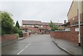
1
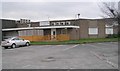
The Anglers Club, Nippet Lane
The "A" is implied. The club is a long way from any body of water so the origin of the name is obscure. It's a sports and social club.
Image: © Stephen Craven
Taken: 16 Feb 2016
0.03 miles
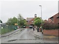
2
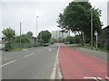
Zebra crossing, Nippet Lane
At the junction of Accommodation Road (left).
Image: © Stephen Craven
Taken: 16 Feb 2016
0.03 miles
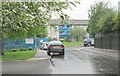
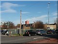
7
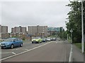
Burmantofts Street - viewed from Nippet Lane
Image: © Betty Longbottom
Taken: 29 May 2013
0.05 miles
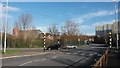
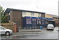
8
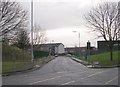
Accommodation Road - Beckett Street
Image: © Betty Longbottom
Taken: 8 Dec 2008
0.05 miles