IMAGES TAKEN NEAR TO
Grange Park Crescent, LEEDS, LS8 3BD
Introduction
This page details the photographs taken nearby to Grange Park Crescent, LS8 3BD by members of the Geograph project.
The Geograph project started in 2005 with the aim of publishing, organising and preserving representative images for every square kilometre of Great Britain, Ireland and the Isle of Man.

There are currently over 7.5m images from over14,400 individuals and you can help contribute to the project by visiting https://www.geograph.org.uk
Image Map
Images are licensed for reuse under creativecommons.org/licenses/by-sa/2.0
Notes
- Clicking on the map will re-center to the selected point.
- The higher the marker number, the further away the image location is from the centre of the postcode.
Image Listing (83 Images Found)
Images are licensed for reuse under creativecommons.org/licenses/by-sa/2.0
Image
Details
Distance
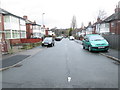
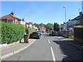
1
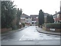
Grange Park Walk - Grange Park Crescent
Image: © Betty Longbottom
Taken: 27 Jan 2014
0.02 miles
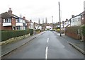
2
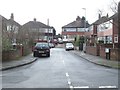
Grange Park Rise - Grange Park Crescent
Image: © Betty Longbottom
Taken: 27 Jan 2014
0.03 miles
3
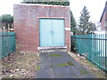
Electricity Substation No 860 - Grange Park Crescent
Image: © Betty Longbottom
Taken: 27 Jan 2014
0.04 miles
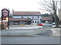
5
Grange Park Avenue - Grange Park Road
Image: © Betty Longbottom
Taken: 27 Jan 2014
0.07 miles
6
Grange Park Grove - Grange Park Road
Image: © Betty Longbottom
Taken: 27 Jan 2014
0.07 miles
7
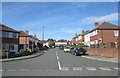
Grange Park Crescent - Grange Park Road
Image: © Betty Longbottom
Taken: 26 May 2014
0.08 miles
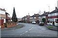
9
Grange Park Terrace - Grange Park Road
Image: © Betty Longbottom
Taken: 26 May 2014
0.08 miles
10
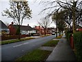
Bungalows on Reinwood Avenue
At the western end, between Fearnville Mount and Fearnville Grove.
Image: © Christine Johnstone
Taken: 21 Nov 2012
0.08 miles