IMAGES TAKEN NEAR TO
Spencer Place, LEEDS, LS7 4DT
Introduction
This page details the photographs taken nearby to Spencer Place, LS7 4DT by members of the Geograph project.
The Geograph project started in 2005 with the aim of publishing, organising and preserving representative images for every square kilometre of Great Britain, Ireland and the Isle of Man.

There are currently over 7.5m images from over14,400 individuals and you can help contribute to the project by visiting https://www.geograph.org.uk
Image Map
Images are licensed for reuse under creativecommons.org/licenses/by-sa/2.0
Notes
- Clicking on the map will re-center to the selected point.
- The higher the marker number, the further away the image location is from the centre of the postcode.
Image Listing (233 Images Found)
Images are licensed for reuse under creativecommons.org/licenses/by-sa/2.0
Image
Details
Distance
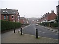
2
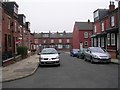
Back Rossington Grove - Spencer Place
Image: © Betty Longbottom
Taken: 31 Dec 2008
0.02 miles
4
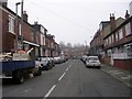
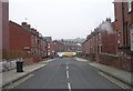
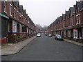
Rossington Place - Rossington Road
Image: © Betty Longbottom
Taken: 31 Dec 2008
0.03 miles
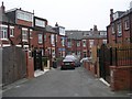
6
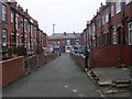
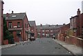
Back Rossington Place - Rossington Road
Image: © Betty Longbottom
Taken: 31 Dec 2008
0.04 miles
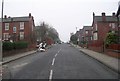
7
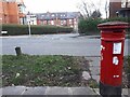
Postbox on Spencer Place
Opposite Shepherd's Lane (seen in the background). There did not appear to be a royal cipher on this box, is that unusual?
Image: © Stephen Craven
Taken: 6 Mar 2022
0.05 miles
9
Hillcrest Place - Hamilton Terrace
Image: © Betty Longbottom
Taken: 31 Dec 2008
0.07 miles