IMAGES TAKEN NEAR TO
Miles Hill Road, LEEDS, LS7 2HB
Introduction
This page details the photographs taken nearby to Miles Hill Road, LS7 2HB by members of the Geograph project.
The Geograph project started in 2005 with the aim of publishing, organising and preserving representative images for every square kilometre of Great Britain, Ireland and the Isle of Man.

There are currently over 7.5m images from over14,400 individuals and you can help contribute to the project by visiting https://www.geograph.org.uk
Image Map
Images are licensed for reuse under creativecommons.org/licenses/by-sa/2.0
Notes
- Clicking on the map will re-center to the selected point.
- The higher the marker number, the further away the image location is from the centre of the postcode.
Image Listing (83 Images Found)
Images are licensed for reuse under creativecommons.org/licenses/by-sa/2.0
Image
Details
Distance
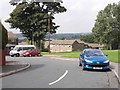
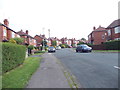
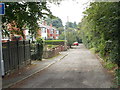
3
Miles Hill Mount - Miles Hill Road
Image: © Betty Longbottom
Taken: 24 Aug 2012
0.02 miles
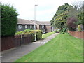
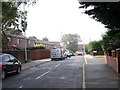
7
Housing with green space, Stainbeck Lane
The interwar housing development left a large open space here, which has been partly filled with later housing but leaving a grass triangle.
Image: © Stephen Craven
Taken: 7 Nov 2020
0.07 miles
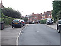
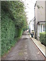
8
Stainbeck Gardens - Stainbeck Lane
Image: © Betty Longbottom
Taken: 24 Aug 2012
0.07 miles
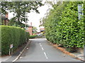
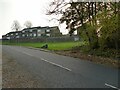
9
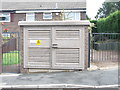
Electricity Substation No 3829 - Beckhill View
Image: © Betty Longbottom
Taken: 24 Aug 2012
0.08 miles