IMAGES TAKEN NEAR TO
Forster Close, ILKLEY, LS29 7HE
Introduction
This page details the photographs taken nearby to Forster Close, LS29 7HE by members of the Geograph project.
The Geograph project started in 2005 with the aim of publishing, organising and preserving representative images for every square kilometre of Great Britain, Ireland and the Isle of Man.

There are currently over 7.5m images from over14,400 individuals and you can help contribute to the project by visiting https://www.geograph.org.uk
Image Map (Loading...)


Getting Data...Please wait
Leaflet Map data © OpenStreetMap
Images are licensed for reuse under creativecommons.org/licenses/by-sa/2.0
Notes
- Clicking on the map will re-center to the selected point.
- The higher the marker number, the further away the image location is from the centre of the postcode.
Image Listing (136 Images Found)
Images are licensed for reuse under creativecommons.org/licenses/by-sa/2.0
Image
Details
Distance
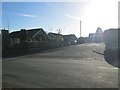
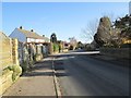
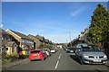
2
Langford Lane - viewed from Lawn Avenue
Image: © Betty Longbottom
Taken: 25 Nov 2013
0.05 miles
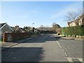
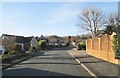
3
Grangefield Avenue - Langford Lane
Image: © Betty Longbottom
Taken: 25 Nov 2013
0.06 miles
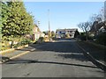
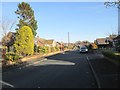
5
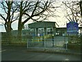
Burley Oaks Primary School
The main entrance on Langford Lane.
Image: © Stephen Craven
Taken: 30 Dec 2020
0.06 miles
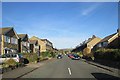
6
Langford Lane - viewed from Lawn Avenue
Image: © Betty Longbottom
Taken: 25 Nov 2013
0.06 miles
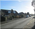
10
St Philips Drive - St Philips Way
Image: © Betty Longbottom
Taken: 25 Nov 2013
0.09 miles