IMAGES TAKEN NEAR TO
Kirklees Drive, PUDSEY, LS28 5TD
Introduction
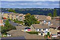
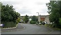
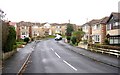
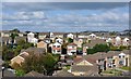
This page details the photographs taken nearby to Kirklees Drive, LS28 5TD by members of the Geograph project.
The Geograph project started in 2005 with the aim of publishing, organising and preserving representative images for every square kilometre of Great Britain, Ireland and the Isle of Man.

There are currently over 7.5m images from over14,400 individuals and you can help contribute to the project by visiting https://www.geograph.org.uk
Image Map (Loading...)


Getting Data...Please wait
Leaflet Map data © OpenStreetMap
Images are licensed for reuse under creativecommons.org/licenses/by-sa/2.0
Notes
- Clicking on the map will re-center to the selected point.
- The higher the marker number, the further away the image location is from the centre of the postcode.
Image Listing (258 Images Found)
Images are licensed for reuse under creativecommons.org/licenses/by-sa/2.0
Image
Details
Distance
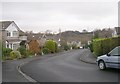
1
Kirklees Drive, Farsley, Leeds
There is a Coal Pit marked on the 1851 Os map for this area.
Image: © Mark Stevenson
Taken: 6 Oct 2016
0.03 miles
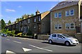
7
Select Court - Bagley Lane, Farsley
Image: © Betty Longbottom
Taken: 26 Sep 2007
0.06 miles
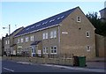
10
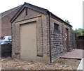
Electricity Substation No 299 - Bagley Lane
Image: © Betty Longbottom
Taken: 25 May 2015
0.07 miles