
IMAGES TAKEN NEAR TO
Emmerson Spur, LEEDS, LS26 9FJ
Introduction
This page details the photographs taken nearby to Emmerson Spur, LS26 9FJ by members of the Geograph project.
The Geograph project started in 2005 with the aim of publishing, organising and preserving representative images for every square kilometre of Great Britain, Ireland and the Isle of Man.

There are currently over 7.5m images from over14,400 individuals and you can help contribute to the project by visiting https://www.geograph.org.uk
Image Map
Images are licensed for reuse under creativecommons.org/licenses/by-sa/2.0
Notes
- Clicking on the map will re-center to the selected point.
- The higher the marker number, the further away the image location is from the centre of the postcode.
Image Listing (54 Images Found)
Images are licensed for reuse under creativecommons.org/licenses/by-sa/2.0
Image
Details
Distance
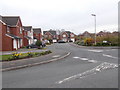
2
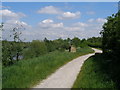
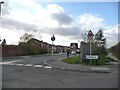
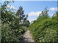
Trans-Pennine Trail leaves the canal
Turn right here for Mickletown
Image: © John Slater
Taken: 29 May 2012
0.10 miles
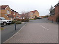
4
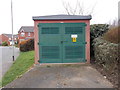
Electricity Substation No 8691 - Longbow Avenue
Image: © Betty Longbottom
Taken: 1 Apr 2016
0.11 miles
9
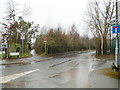
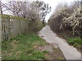
Station Road, Mickletown (east end)
Station Road was originally accessed from Leeds Road at the western end; that end is now closed to motor traffic at the level crossing Image It has been extended round through the site of the long-closed Savile Colliery, and meets Mickletown Main Street at its western end. The footpath to the left of the photo appears to follow a long-established route (formerly along field boundaries).
Image: © Stephen Craven
Taken: 3 Mar 2019
0.13 miles
10
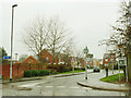
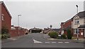
Longbow Avenue, Mickletown
A modern housing estate.
Image: © Stephen Craven
Taken: 3 Mar 2019
0.14 miles