IMAGES TAKEN NEAR TO
Hopefield Drive, LEEDS, LS26 0GG
Introduction
This page details the photographs taken nearby to Hopefield Drive, LS26 0GG by members of the Geograph project.
The Geograph project started in 2005 with the aim of publishing, organising and preserving representative images for every square kilometre of Great Britain, Ireland and the Isle of Man.

There are currently over 7.5m images from over14,400 individuals and you can help contribute to the project by visiting https://www.geograph.org.uk
Image Map
Images are licensed for reuse under creativecommons.org/licenses/by-sa/2.0
Notes
- Clicking on the map will re-center to the selected point.
- The higher the marker number, the further away the image location is from the centre of the postcode.
Image Listing (53 Images Found)
Images are licensed for reuse under creativecommons.org/licenses/by-sa/2.0
Image
Details
Distance
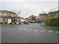
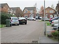
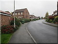
2
Hopefield Crescent - Hopefield Drive
Image: © Betty Longbottom
Taken: 5 Nov 2013
0.03 miles
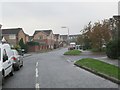
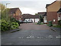
3
Hopefield Crescent - Hopefield Drive
Image: © Betty Longbottom
Taken: 5 Nov 2013
0.03 miles
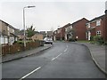
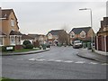
8
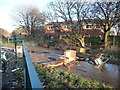
Fly-tipping or play at Howlet Cross
A flooded lane blocked with detritus. At the crossing with the former East and West Yorkshire Union Railway, now a permitted bridleway.
Image: © Christine Johnstone
Taken: 30 Dec 2014
0.09 miles
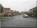
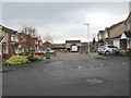
9
Castlefields - viewed from Kingsfield
Image: © Betty Longbottom
Taken: 5 Nov 2013
0.09 miles