Fly-tipping or play at Howlet Cross
Introduction
The photograph on this page of Fly-tipping or play at Howlet Cross by Christine Johnstone as part of the Geograph project.
The Geograph project started in 2005 with the aim of publishing, organising and preserving representative images for every square kilometre of Great Britain, Ireland and the Isle of Man.

There are currently over 7.5m images from over 14,400 individuals and you can help contribute to the project by visiting https://www.geograph.org.uk
Fly-tipping or play at Howlet Cross
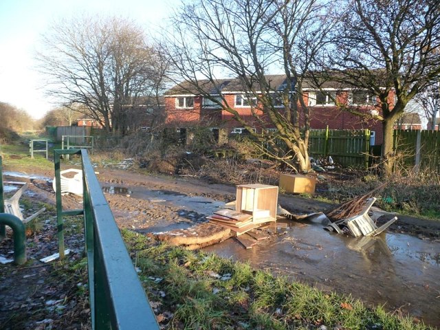
Image: © Christine Johnstone Taken: 30 Dec 2014
A flooded lane blocked with detritus. At the crossing with the former East and West Yorkshire Union Railway, now a permitted bridleway.
Images are licensed for reuse under creativecommons.org/licenses/by-sa/2.0
Image Location
Latitude
53.745991
Longitude
-1.502159