IMAGES TAKEN NEAR TO
Sandgate Drive, LEEDS, LS25 7EY
Introduction
This page details the photographs taken nearby to Sandgate Drive, LS25 7EY by members of the Geograph project.
The Geograph project started in 2005 with the aim of publishing, organising and preserving representative images for every square kilometre of Great Britain, Ireland and the Isle of Man.

There are currently over 7.5m images from over14,400 individuals and you can help contribute to the project by visiting https://www.geograph.org.uk
Image Map
Images are licensed for reuse under creativecommons.org/licenses/by-sa/2.0
Notes
- Clicking on the map will re-center to the selected point.
- The higher the marker number, the further away the image location is from the centre of the postcode.
Image Listing (43 Images Found)
Images are licensed for reuse under creativecommons.org/licenses/by-sa/2.0
Image
Details
Distance
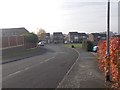
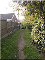
7
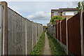
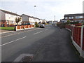
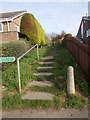
Public Footpath Squeezed in between a Kippax Housing Estate
Public footpath heads towards open country, after initially being squeezed behind housing estates in north east Kippax
Image: © Chris Heaton
Taken: 9 May 2021
0.11 miles
9
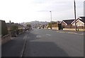
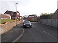
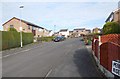
Holland Road - looking towards Gibson Lane
Image: © Betty Longbottom
Taken: 31 Oct 2016
0.12 miles