IMAGES TAKEN NEAR TO
Lazenby Fold, WETHERBY, LS22 6WN
Introduction
This page details the photographs taken nearby to Lazenby Fold, LS22 6WN by members of the Geograph project.
The Geograph project started in 2005 with the aim of publishing, organising and preserving representative images for every square kilometre of Great Britain, Ireland and the Isle of Man.

There are currently over 7.5m images from over14,400 individuals and you can help contribute to the project by visiting https://www.geograph.org.uk
Image Map
Images are licensed for reuse under creativecommons.org/licenses/by-sa/2.0
Notes
- Clicking on the map will re-center to the selected point.
- The higher the marker number, the further away the image location is from the centre of the postcode.
Image Listing (77 Images Found)
Images are licensed for reuse under creativecommons.org/licenses/by-sa/2.0
Image
Details
Distance
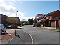
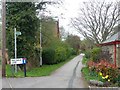
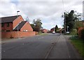
2
Lazenby Fold and Lazenby Drive
Off Glebe Field Drive.
Image: © Christine Johnstone
Taken: 8 Apr 2012
0.02 miles
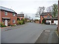
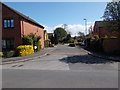
3
The Glebe Field estate, Wetherby
Glebe Field Drive leads to Glebe Field Holt, Croft, Garth, Chase and Close.
Image: © Christine Johnstone
Taken: 8 Apr 2012
0.02 miles
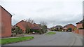
4
Glebe Field Holt - Glebe Field Drive
Image: © Betty Longbottom
Taken: 3 May 2016
0.03 miles
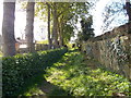
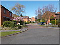
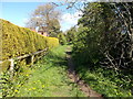
6
Rail Balk Lane, Wetherby
Now a public footpath crossing a fairly new housing development.
Image: © Christine Johnstone
Taken: 8 Apr 2012
0.05 miles
8
Glebe Field Croft - Glebe Field Drive
Image: © Betty Longbottom
Taken: 3 May 2016
0.05 miles
10
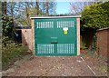
Electricity Substation No 5111 - Glebe Field Drive
Image: © Betty Longbottom
Taken: 3 May 2016
0.06 miles