
IMAGES TAKEN NEAR TO
Wharfe Grove, WETHERBY, LS22 6HA
Introduction
This page details the photographs taken nearby to Wharfe Grove, LS22 6HA by members of the Geograph project.
The Geograph project started in 2005 with the aim of publishing, organising and preserving representative images for every square kilometre of Great Britain, Ireland and the Isle of Man.

There are currently over 7.5m images from over14,400 individuals and you can help contribute to the project by visiting https://www.geograph.org.uk
Image Map
Images are licensed for reuse under creativecommons.org/licenses/by-sa/2.0
Notes
- Clicking on the map will re-center to the selected point.
- The higher the marker number, the further away the image location is from the centre of the postcode.
Image Listing (83 Images Found)
Images are licensed for reuse under creativecommons.org/licenses/by-sa/2.0
Image
Details
Distance
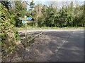
2
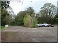
The site of Wetherby Station
On the old Wetherby - Leeds line. Now a car park, recycling area and the southern point of the Harland Way [a cycle and footpath route between Wetherby and Spofforth].
Image: © Christine Johnstone
Taken: 8 Apr 2012
0.02 miles
3

The Harland Way car park
Good place to start for a walk along the old railway line.
Image: © steven ruffles
Taken: 31 Aug 2019
0.03 miles
4
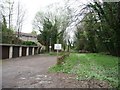
Now the end of the line
The former Wetherby - Leeds railway line, looking south from the former station site of Linton Road.
Image: © Christine Johnstone
Taken: 8 Apr 2012
0.03 miles
5
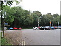
Site of Wetherby railway station
A railway station opened on this site in 1902, replacing Wetherby's original railway station a short distance away. The station, and the line which passed through it, closed to passengers in 1964. The station has since been demolished, and the site is now used as a car park. The orange signs attached to the lamp posts are either relics from the former railway stations, or replicas.
More information about the railway station which stood here can be found on the Disused Stations website: http://www.disused-stations.org.uk/w/wetherby_second/index.shtml
Image: © Malc McDonald
Taken: 14 Oct 2021
0.03 miles
6
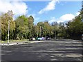
Linton Road car park and recycling bins
Image: © Steve Fareham
Taken: 26 Apr 2016
0.03 miles
8

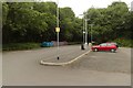
Wetherby 2nd railway station (site), Yorkshire
Opened in 1902 by the North Eastern Railway on its line from Leeds to Wetherby, this station closed to passengers in 1964 and completely in 1966. View south west from Spofforth Hill towards Collingham Bridge and Leeds.
Image: © Nigel Thompson
Taken: 9 Apr 2012
0.04 miles
10
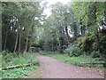
Dismantled railway, Wetherby
This wooded cutting in Wetherby formed part of the route of a railway line. The line closed in 1964. The route is now open to pedestrians and cyclists, and forms part of a short branch of routes 67 and 665 of the National Cycle Network.
Image: © Malc McDonald
Taken: 14 Oct 2021
0.06 miles