IMAGES TAKEN NEAR TO
Shaw Barn Croft, WETHERBY, LS22 6GN
Introduction
This page details the photographs taken nearby to Shaw Barn Croft, LS22 6GN by members of the Geograph project.
The Geograph project started in 2005 with the aim of publishing, organising and preserving representative images for every square kilometre of Great Britain, Ireland and the Isle of Man.

There are currently over 7.5m images from over14,400 individuals and you can help contribute to the project by visiting https://www.geograph.org.uk
Image Map (Loading...)


Getting Data...Please wait
Leaflet Map data © OpenStreetMap
Images are licensed for reuse under creativecommons.org/licenses/by-sa/2.0
Notes
- Clicking on the map will re-center to the selected point.
- The higher the marker number, the further away the image location is from the centre of the postcode.
Image Listing (55 Images Found)
Images are licensed for reuse under creativecommons.org/licenses/by-sa/2.0
Image
Details
Distance
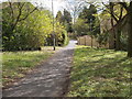
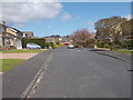
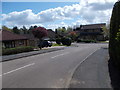
4
Shaw Barn Lane - looking towards Linton Road
Image: © Betty Longbottom
Taken: 3 May 2016
0.06 miles
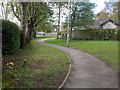
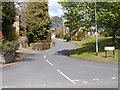
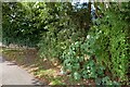
5
Ullswater Rise - looking towards Ullswater Drive
Image: © Betty Longbottom
Taken: 3 May 2016
0.06 miles
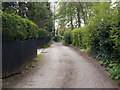
10
Wetherby, Sicklinghall Road
According to the OS benchmark database there is a cutmark on the roadside wall on the north side of Sicklinghall Road. Nothing was found.
Image: © Mel Towler
Taken: 7 Aug 2022
0.09 miles