IMAGES TAKEN NEAR TO
Brookside, WETHERBY, LS22 5AL
Introduction
This page details the photographs taken nearby to Brookside, LS22 5AL by members of the Geograph project.
The Geograph project started in 2005 with the aim of publishing, organising and preserving representative images for every square kilometre of Great Britain, Ireland and the Isle of Man.

There are currently over 7.5m images from over14,400 individuals and you can help contribute to the project by visiting https://www.geograph.org.uk
Image Map (Loading...)


Getting Data...Please wait
Leaflet Map data © OpenStreetMap
Images are licensed for reuse under creativecommons.org/licenses/by-sa/2.0
Notes
- Clicking on the map will re-center to the selected point.
- The higher the marker number, the further away the image location is from the centre of the postcode.
Image Listing (114 Images Found)
Images are licensed for reuse under creativecommons.org/licenses/by-sa/2.0
Image
Details
Distance
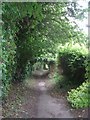
2
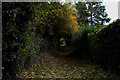
Green Tunnel in Collingham
Well concealed public footpath heading south from School Lane towards Jewitt Lane.
Image: © Chris Heaton
Taken: 1 Nov 2016
0.03 miles
3
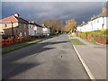
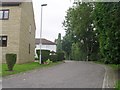
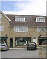
Brookside - looking towards Leeds Road
Image: © Betty Longbottom
Taken: 10 Nov 2015
0.04 miles
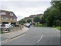
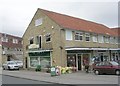
9
Hastings Fisheries - off School Lane
Image: © Betty Longbottom
Taken: 9 Aug 2010
0.06 miles
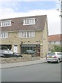
10
The Country Store - Elizabeth Court
Image: © Betty Longbottom
Taken: 9 Aug 2010
0.06 miles