IMAGES TAKEN NEAR TO
Fowlers Croft, OTLEY, LS21 1JB
Introduction
This page details the photographs taken nearby to Fowlers Croft, LS21 1JB by members of the Geograph project.
The Geograph project started in 2005 with the aim of publishing, organising and preserving representative images for every square kilometre of Great Britain, Ireland and the Isle of Man.

There are currently over 7.5m images from over14,400 individuals and you can help contribute to the project by visiting https://www.geograph.org.uk
Image Map
Images are licensed for reuse under creativecommons.org/licenses/by-sa/2.0
Notes
- Clicking on the map will re-center to the selected point.
- The higher the marker number, the further away the image location is from the centre of the postcode.
Image Listing (185 Images Found)
Images are licensed for reuse under creativecommons.org/licenses/by-sa/2.0
Image
Details
Distance
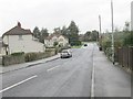
1
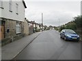
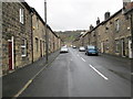
Cambridge Way - viewed from Cambridge Street
Image: © Betty Longbottom
Taken: 6 Nov 2013
0.04 miles
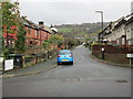
4
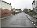
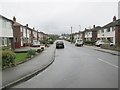
Cambridge Street - viewed from Cambridge Way
Image: © Betty Longbottom
Taken: 6 Nov 2013
0.06 miles
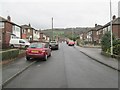
5
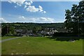
Bridge near Tealbeck Approach
Looking across part of a small park in Otley.
Image: © DS Pugh
Taken: 31 Dec 2017
0.07 miles
6
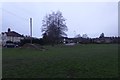
Wellcroft Park
Looking across the park from the playground with an aircraft coming into land at Leeds-Bradford on the Chevin.
Image: © DS Pugh
Taken: 5 Jun 2021
0.07 miles
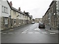
10
Tealbeck Approach - Cambridge Street
Image: © Betty Longbottom
Taken: 6 Nov 2013
0.08 miles