IMAGES TAKEN NEAR TO
Aire View, LEEDS, LS19 7TL
Introduction
This page details the photographs taken nearby to Aire View, LS19 7TL by members of the Geograph project.
The Geograph project started in 2005 with the aim of publishing, organising and preserving representative images for every square kilometre of Great Britain, Ireland and the Isle of Man.

There are currently over 7.5m images from over14,400 individuals and you can help contribute to the project by visiting https://www.geograph.org.uk
Image Map
Images are licensed for reuse under creativecommons.org/licenses/by-sa/2.0
Notes
- Clicking on the map will re-center to the selected point.
- The higher the marker number, the further away the image location is from the centre of the postcode.
Image Listing (119 Images Found)
Images are licensed for reuse under creativecommons.org/licenses/by-sa/2.0
Image
Details
Distance
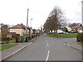
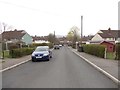
2
Windmill Lane - viewed from Bolton Road
Image: © Betty Longbottom
Taken: 2 Apr 2012
0.05 miles
3
Windmill Lane - viewed from Bolton Road
Image: © Betty Longbottom
Taken: 2 Apr 2012
0.05 miles
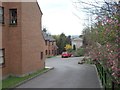
6
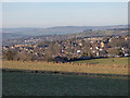
Looking over Yeadon
View from a footpath to the east of the town.
Image: © Stephen Craven
Taken: 7 Jan 2018
0.06 miles
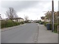
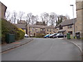
7
Garages on Grange Avenue
Unlike the more common rows of matching "lock-ups", these garages of varying design have presumably been erected by individual houseowners.
Image: © Stephen Craven
Taken: 28 Mar 2021
0.07 miles
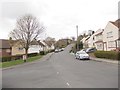
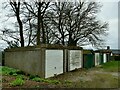
8
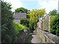
Snicket
Leading from the main road into Yeadon village.
Image: © John Illingworth
Taken: 22 May 2007
0.09 miles