IMAGES TAKEN NEAR TO
Copt Royd Grove, LEEDS, LS19 7HQ
Introduction
This page details the photographs taken nearby to Copt Royd Grove, LS19 7HQ by members of the Geograph project.
The Geograph project started in 2005 with the aim of publishing, organising and preserving representative images for every square kilometre of Great Britain, Ireland and the Isle of Man.

There are currently over 7.5m images from over14,400 individuals and you can help contribute to the project by visiting https://www.geograph.org.uk
Image Map
Images are licensed for reuse under creativecommons.org/licenses/by-sa/2.0
Notes
- Clicking on the map will re-center to the selected point.
- The higher the marker number, the further away the image location is from the centre of the postcode.
Image Listing (104 Images Found)
Images are licensed for reuse under creativecommons.org/licenses/by-sa/2.0
Image
Details
Distance
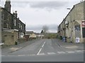
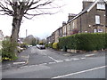
1
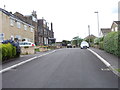
Copt Royd - looking towards Kirk Lane
Image: © Betty Longbottom
Taken: 3 Jul 2012
0.01 miles
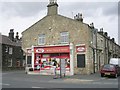
4
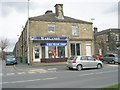
Harlands The Music Shop - Kirk Lane
Image: © Betty Longbottom
Taken: 6 Apr 2010
0.05 miles
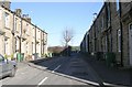
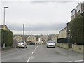
10
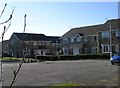
Housing Development - off Kirk Lane
These have been built on the site of the former Leafield Mills (James Ives & Co).
Image: © Betty Longbottom
Taken: 13 Feb 2008
0.07 miles