
IMAGES TAKEN NEAR TO
Plowmans Walk, LEEDS, LS19 7FJ
Introduction
This page details the photographs taken nearby to Plowmans Walk, LS19 7FJ by members of the Geograph project.
The Geograph project started in 2005 with the aim of publishing, organising and preserving representative images for every square kilometre of Great Britain, Ireland and the Isle of Man.

There are currently over 7.5m images from over14,400 individuals and you can help contribute to the project by visiting https://www.geograph.org.uk
Image Map
Images are licensed for reuse under creativecommons.org/licenses/by-sa/2.0
Notes
- Clicking on the map will re-center to the selected point.
- The higher the marker number, the further away the image location is from the centre of the postcode.
Image Listing (79 Images Found)
Images are licensed for reuse under creativecommons.org/licenses/by-sa/2.0
Image
Details
Distance
2
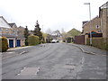
Crofters Lea - viewed from near Plowmans Walk
Image: © Betty Longbottom
Taken: 23 Apr 2012
0.04 miles
3
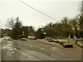
Milners Road, Guiseley
Classic "urban fringe": the road leads to a recycling facility on the site of the former Guiseley Brickworks and was crossed at this point (possibly on the level rather than by means of a bridge) by the Midland Railway's freight branch to Yeadon (now a cycleway).
Image: © Stephen Craven
Taken: 24 Jan 2021
0.07 miles
4
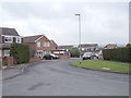
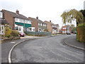
Westlea Crescent - viewed from Westlea Grove
Image: © Betty Longbottom
Taken: 23 Apr 2012
0.08 miles
6
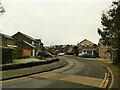
Crofters Lea, Yeadon
A modern housing estate, built on the site of West Lea Farm.
Image: © Stephen Craven
Taken: 24 Jan 2021
0.09 miles
7
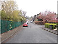
West View - looking towards Dibb Lane
Image: © Betty Longbottom
Taken: 23 Apr 2012
0.10 miles
8
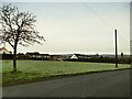
Green space off Old Whack House Lane, Yeadon
It hasn't always been an open space - the 1956 map shows housing here.
Image: © Stephen Craven
Taken: 24 Jan 2021
0.11 miles
9
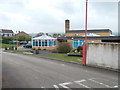
School - viewed from Old Whackhouse Lane
Image: © Betty Longbottom
Taken: 23 Apr 2012
0.11 miles
10
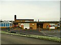
Westfield Infant School, Old Whack House Lane, Yeadon
Compare Image The corresponding junior school Image is at the other end of the site along with the Catholic primary school Image
Image: © Stephen Craven
Taken: 24 Jan 2021
0.12 miles