
IMAGES TAKEN NEAR TO
Mawcroft Close, LEEDS, LS19 6DG
Introduction
This page details the photographs taken nearby to Mawcroft Close, LS19 6DG by members of the Geograph project.
The Geograph project started in 2005 with the aim of publishing, organising and preserving representative images for every square kilometre of Great Britain, Ireland and the Isle of Man.

There are currently over 7.5m images from over14,400 individuals and you can help contribute to the project by visiting https://www.geograph.org.uk
Image Map
Images are licensed for reuse under creativecommons.org/licenses/by-sa/2.0
Notes
- Clicking on the map will re-center to the selected point.
- The higher the marker number, the further away the image location is from the centre of the postcode.
Image Listing (133 Images Found)
Images are licensed for reuse under creativecommons.org/licenses/by-sa/2.0
Image
Details
Distance
1
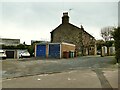
Older house at Mawcroft
I'm not sure, from looking at old maps, whether this is the former farmhouse or later houses built within the grounds of the farmhouse, which may have been where the supported living now is Image
Image: © Stephen Craven
Taken: 24 Jan 2021
0.02 miles
3
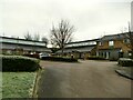
10A-10C Mawcroft
These three houses offer supported living for people with learning disabilities.
Image: © Stephen Craven
Taken: 24 Jan 2021
0.04 miles
4
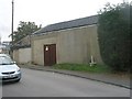
Electricity Substation No 4217 - Mawcroft Farm Drive
Image: © Betty Longbottom
Taken: 31 Aug 2011
0.05 miles
5
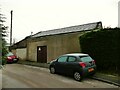
Mawcroft Farm substation
The site is no longer a farm but the substation retains the name.
Image: © Stephen Craven
Taken: 24 Jan 2021
0.05 miles
7
New Road Side - looking towards Rawdon
Image: © Betty Longbottom
Taken: 31 Aug 2011
0.05 miles
8
Apperley Lane - viewed from Warm Lane
Image: © Betty Longbottom
Taken: 31 Aug 2011
0.06 miles
9
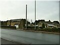
Barn Cottages, Apperley Lane
The name probably refers to the older building on the right; the one to the left is newer.
Image: © Stephen Craven
Taken: 24 Jan 2021
0.06 miles
10
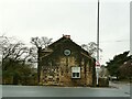
Building on the corner of Apperley Lane and Warm Lane
This may be the building marked as a smithy on the 1908 map.
Image: © Stephen Craven
Taken: 24 Jan 2021
0.06 miles