
IMAGES TAKEN NEAR TO
Regent Crescent, LEEDS, LS18 4NN
Introduction
This page details the photographs taken nearby to Regent Crescent, LS18 4NN by members of the Geograph project.
The Geograph project started in 2005 with the aim of publishing, organising and preserving representative images for every square kilometre of Great Britain, Ireland and the Isle of Man.

There are currently over 7.5m images from over14,400 individuals and you can help contribute to the project by visiting https://www.geograph.org.uk
Image Map
Images are licensed for reuse under creativecommons.org/licenses/by-sa/2.0
Notes
- Clicking on the map will re-center to the selected point.
- The higher the marker number, the further away the image location is from the centre of the postcode.
Image Listing (323 Images Found)
Images are licensed for reuse under creativecommons.org/licenses/by-sa/2.0
Image
Details
Distance
1
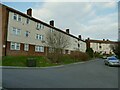
Regent Crescent, Horsforth
Social housing.
Image: © Stephen Craven
Taken: 6 Mar 2021
0.02 miles
2
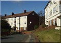
Regent Crescent, Horsforth
View west from junction of Regent Avenue
Image: © Rich Tea
Taken: 28 Feb 2006
0.02 miles
3
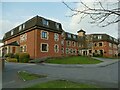
Fairburn House, Regent Crescent, Horsforth
Described as "an over 55's residential complex".
See also Image
Image: © Stephen Craven
Taken: 6 Mar 2021
0.03 miles
4
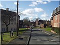
Regent Crescent, Horsforth
Looking south west from junction of Green Lane. Regent House on the right hand side.
See also Image
Image: © Rich Tea
Taken: 28 Feb 2006
0.03 miles
5
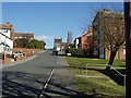
Regent Avenue, Horsforth
Looking north-east up the hill from New Road Side, toward the junction with Wood Lane at the top.
Image: © Rich Tea
Taken: 5 Mar 2006
0.04 miles
6
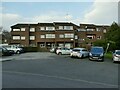
Warwick Court, Green Lane, Horsforth
Leasehold retirement apartments, built in 1976 and managed by EAC Housing Care.
Image: © Stephen Craven
Taken: 6 Mar 2021
0.04 miles
7
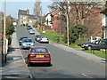
Regent Avenue, Horsforth
Looking up this steep hill from New Road Side.
Image: © Rich Tea
Taken: 25 Mar 2007
0.04 miles
8
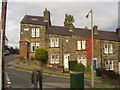
Woodbine Terrace, Wood Lane, Horsforth
Looking north-east from the top of Regent Avenue.
Image: © Rich Tea
Taken: Unknown
0.04 miles
9
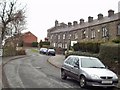
Wood Lane (2), Horsforth, Leeds
Looking up the hill north-west from where Craggwood Road crosses. The terrace on the right is called Woodbine Terrace. At the top, between the end of the terrace and the new house beyond it, the road turns sharp right.
Image: © Rich Tea
Taken: 22 Feb 2006
0.04 miles
10
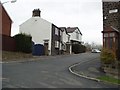
Wood Lane (3), Horsforth, Leeds
Here's the end of Woodbine Terrace. Cars normally follow the road round to the left beyond the white cottages, but that takes them onto Cragg Road.
Image: © Rich Tea
Taken: 22 Feb 2006
0.04 miles