IMAGES TAKEN NEAR TO
Buckstone Way, LEEDS, LS17 5HD
Introduction
This page details the photographs taken nearby to Buckstone Way, LS17 5HD by members of the Geograph project.
The Geograph project started in 2005 with the aim of publishing, organising and preserving representative images for every square kilometre of Great Britain, Ireland and the Isle of Man.

There are currently over 7.5m images from over14,400 individuals and you can help contribute to the project by visiting https://www.geograph.org.uk
Image Map
Images are licensed for reuse under creativecommons.org/licenses/by-sa/2.0
Notes
- Clicking on the map will re-center to the selected point.
- The higher the marker number, the further away the image location is from the centre of the postcode.
Image Listing (66 Images Found)
Images are licensed for reuse under creativecommons.org/licenses/by-sa/2.0
Image
Details
Distance
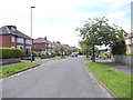
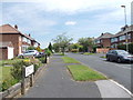
1

Electricity Substation No 1674 - Buck Stone Way
Image: © Betty Longbottom
Taken: 20 Jun 2012
0.02 miles
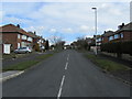
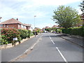
2
Buck Stone Way - viewed from Buck Stone Oval
Image: © Betty Longbottom
Taken: 20 Jun 2012
0.03 miles
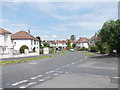
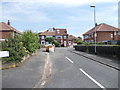
3
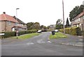
Buckstone Way, Moortown
Part of a mature housing estate on the northern fringes of Leeds
Image: © Chris Heaton
Taken: 13 Apr 2013
0.04 miles
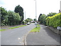
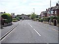
4
Buck Stone Oval - viewed from Buck Stone Way
Image: © Betty Longbottom
Taken: 20 Jun 2012
0.04 miles
5
Buck Stone Crescent - viewed from Buck Stone Way
Image: © Betty Longbottom
Taken: 20 Jun 2012
0.05 miles
6
Buck Stone Oval - Buck Stone Avenue
Image: © Betty Longbottom
Taken: 20 Jun 2012
0.05 miles
7
Buck Stone Grove - Buck Stone Avenue
Image: © Betty Longbottom
Taken: 20 Jun 2012
0.05 miles
8
Buck Stone Rise - Buck Stone Avenue
Image: © Betty Longbottom
Taken: 20 Jun 2012
0.08 miles
9
Buck Stone Avenue - Buck Stone Crescent
Image: © Betty Longbottom
Taken: 20 Jun 2012
0.11 miles
10
Deanswood Gardens - Deanswood Drive
Image: © Betty Longbottom
Taken: 16 Oct 2012
0.13 miles