IMAGES TAKEN NEAR TO
Latchmere Road, LEEDS, LS16 5DF
Introduction
This page details the photographs taken nearby to Latchmere Road, LS16 5DF by members of the Geograph project.
The Geograph project started in 2005 with the aim of publishing, organising and preserving representative images for every square kilometre of Great Britain, Ireland and the Isle of Man.

There are currently over 7.5m images from over14,400 individuals and you can help contribute to the project by visiting https://www.geograph.org.uk
Image Map
Images are licensed for reuse under creativecommons.org/licenses/by-sa/2.0
Notes
- Clicking on the map will re-center to the selected point.
- The higher the marker number, the further away the image location is from the centre of the postcode.
Image Listing (91 Images Found)
Images are licensed for reuse under creativecommons.org/licenses/by-sa/2.0
Image
Details
Distance
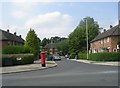
3
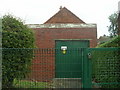
Electricity Substation No 2089 - Old Farm Drive
Image: © Betty Longbottom
Taken: 3 Aug 2011
0.06 miles
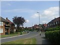
7
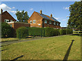
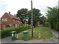
Substation and house with solar panels, Old Farm Drive
Electricity generation and distribution side-by-side, although I doubt that one is directly connected to the other.
Image: © Stephen Craven
Taken: 1 Jun 2020
0.07 miles
10
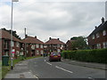
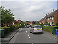
Old Farm Drive - viewed from Old Farm Approach
Image: © Betty Longbottom
Taken: 3 Aug 2011
0.08 miles