IMAGES TAKEN NEAR TO
Kingswear Crescent, LEEDS, LS15 8LY
Introduction
This page details the photographs taken nearby to Kingswear Crescent, LS15 8LY by members of the Geograph project.
The Geograph project started in 2005 with the aim of publishing, organising and preserving representative images for every square kilometre of Great Britain, Ireland and the Isle of Man.

There are currently over 7.5m images from over14,400 individuals and you can help contribute to the project by visiting https://www.geograph.org.uk
Image Map
Images are licensed for reuse under creativecommons.org/licenses/by-sa/2.0
Notes
- Clicking on the map will re-center to the selected point.
- The higher the marker number, the further away the image location is from the centre of the postcode.
Image Listing (63 Images Found)
Images are licensed for reuse under creativecommons.org/licenses/by-sa/2.0
Image
Details
Distance
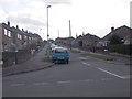
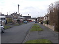
1
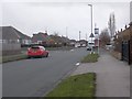
Kingswear Crescent - Austhorpe Lane
Image: © Betty Longbottom
Taken: 1 Apr 2015
0.01 miles
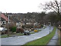
2
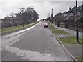
Austhorpe Lane - viewed from Kingswear Crescent
Image: © Betty Longbottom
Taken: 1 Apr 2015
0.02 miles
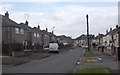
4
Kennerleigh Avenue - Kingswear Crescent
Image: © Betty Longbottom
Taken: 1 Apr 2015
0.04 miles
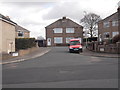
5
Lulworth Crescent - Kingswear Crescent
Image: © Betty Longbottom
Taken: 1 Apr 2015
0.04 miles
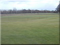
6

Cross Gates Cricket Club
Friendly cricket club based on Austhorpe Lane.
There are two teams playing in the Wetherby League.
Image: © Chris Heaton
Taken: 15 Feb 2019
0.05 miles
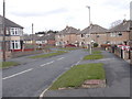
7
Austhorpe Lane
This is the boundary between built-up Leeds and open country to the east.
Image: © Rob Burke
Taken: 1 Jan 2006
0.06 miles
10
Kingswear Garth - Lulworth Crescent
Image: © Betty Longbottom
Taken: 1 Apr 2015
0.09 miles