IMAGES TAKEN NEAR TO
Pendas Way, LEEDS, LS15 8HU
Introduction
This page details the photographs taken nearby to Pendas Way, LS15 8HU by members of the Geograph project.
The Geograph project started in 2005 with the aim of publishing, organising and preserving representative images for every square kilometre of Great Britain, Ireland and the Isle of Man.

There are currently over 7.5m images from over14,400 individuals and you can help contribute to the project by visiting https://www.geograph.org.uk
Image Map
Images are licensed for reuse under creativecommons.org/licenses/by-sa/2.0
Notes
- Clicking on the map will re-center to the selected point.
- The higher the marker number, the further away the image location is from the centre of the postcode.
Image Listing (70 Images Found)
Images are licensed for reuse under creativecommons.org/licenses/by-sa/2.0
Image
Details
Distance
2
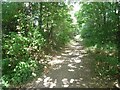
The Elmet Greenway off Manston Lane
The greenway is the course of the former Cross Gates to Wetherby railway line that closed in 1964.
Image: © Stephen Craven
Taken: 26 Aug 2022
0.05 miles
3
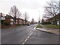
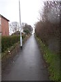
Pendas Way - viewed from Pendas Grove
Image: © Betty Longbottom
Taken: 1 Apr 2015
0.07 miles
6
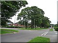
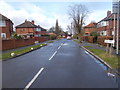
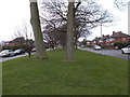
Penda's Grove, south side
A suburban road made glorious by the wide avenue of mature trees down the centre. Traffic goes both ways on both sides. There is an 82 metre spot height in the centre of the cut-through.
Image: © Christine Johnstone
Taken: 25 Jul 2012
0.10 miles
8
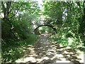
Bridge over the Elmet Greenway
The greenway was originally the Cross Gates to Wetherby railway that closed in 1964. What was a farm accommodation bridge now carries a public footpath linking housing estates either side. The height of the arch suggests that the present ground level is somewhat higher than the original railway formation.
Image: © Stephen Craven
Taken: 26 Aug 2022
0.10 miles
9
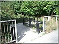
Access to the Elmet Greenway off Manston Lane
The greenway is the course of the former Cross Gates to Wetherby railway line that closed in 1964.
Image: © Stephen Craven
Taken: 26 Aug 2022
0.11 miles