IMAGES TAKEN NEAR TO
Inglewood Place, LEEDS, LS14 6HH
Introduction
This page details the photographs taken nearby to Inglewood Place, LS14 6HH by members of the Geograph project.
The Geograph project started in 2005 with the aim of publishing, organising and preserving representative images for every square kilometre of Great Britain, Ireland and the Isle of Man.

There are currently over 7.5m images from over14,400 individuals and you can help contribute to the project by visiting https://www.geograph.org.uk
Image Map
Images are licensed for reuse under creativecommons.org/licenses/by-sa/2.0
Notes
- Clicking on the map will re-center to the selected point.
- The higher the marker number, the further away the image location is from the centre of the postcode.
Image Listing (51 Images Found)
Images are licensed for reuse under creativecommons.org/licenses/by-sa/2.0
Image
Details
Distance

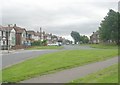
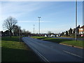
2

Inglewood Place - viewed from Inglewood Approach
Image: © Betty Longbottom
Taken: 10 Feb 2015
0.05 miles
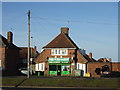

7
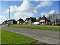
Shops on the north side of York Road, Seacroft
Part of the post-WW2 development in this area of Leeds. The one on the right, now Rainbow Deli, was formerly Wine Basket Image
Image: © Stephen Craven
Taken: 24 Feb 2024
0.06 miles
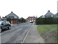
8
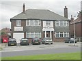
The Medical Centre - 846 York Road
Image: © Betty Longbottom
Taken: 22 Jul 2008
0.08 miles