IMAGES TAKEN NEAR TO
Coal Road, LEEDS, LS14 2DH
Introduction
This page details the photographs taken nearby to Coal Road, LS14 2DH by members of the Geograph project.
The Geograph project started in 2005 with the aim of publishing, organising and preserving representative images for every square kilometre of Great Britain, Ireland and the Isle of Man.

There are currently over 7.5m images from over14,400 individuals and you can help contribute to the project by visiting https://www.geograph.org.uk
Image Map
Images are licensed for reuse under creativecommons.org/licenses/by-sa/2.0
Notes
- Clicking on the map will re-center to the selected point.
- The higher the marker number, the further away the image location is from the centre of the postcode.
Image Listing (64 Images Found)
Images are licensed for reuse under creativecommons.org/licenses/by-sa/2.0
Image
Details
Distance
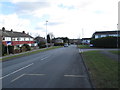
1
Hathaway Walk - Coal Road, Whinmoor
Image: © Betty Longbottom
Taken: 22 Jul 2008
0.04 miles
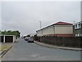
4
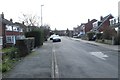
Hathaway Drive - looking towards White Laithe Road
Image: © Betty Longbottom
Taken: 23 Feb 2015
0.07 miles
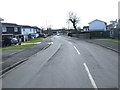
6
Hathaway Drive - White Laithe Road
Image: © Betty Longbottom
Taken: 23 Feb 2015
0.08 miles
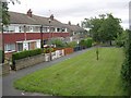
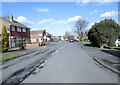
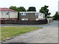
7
Red Hall Croft, Whinmoor
Parallel, and to the west of, Coal Road. A few of the flat-roofed houses have gained pitched roofs.
Image: © Christine Johnstone
Taken: 25 Jul 2012
0.08 miles
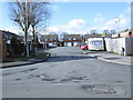
8
361 -367 Red Hall Croft, Whinmoor
Unlike their neighbours, still flat-roofed.
Image: © Christine Johnstone
Taken: 25 Jul 2012
0.09 miles