IMAGES TAKEN NEAR TO
Ramshead Approach, LEEDS, LS14 1HH
Introduction
This page details the photographs taken nearby to Ramshead Approach, LS14 1HH by members of the Geograph project.
The Geograph project started in 2005 with the aim of publishing, organising and preserving representative images for every square kilometre of Great Britain, Ireland and the Isle of Man.

There are currently over 7.5m images from over14,400 individuals and you can help contribute to the project by visiting https://www.geograph.org.uk
Image Map
Images are licensed for reuse under creativecommons.org/licenses/by-sa/2.0
Notes
- Clicking on the map will re-center to the selected point.
- The higher the marker number, the further away the image location is from the centre of the postcode.
Image Listing (50 Images Found)
Images are licensed for reuse under creativecommons.org/licenses/by-sa/2.0
Image
Details
Distance
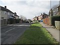
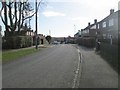
2
Ramshead Approach - Ramshead Drive
Image: © Betty Longbottom
Taken: 17 Feb 2015
0.05 miles
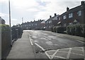
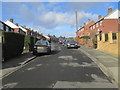
3
Ramshead Drive - viewed from Ramshead Approach
Image: © Betty Longbottom
Taken: 17 Feb 2015
0.06 miles
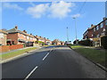
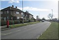
4
Eastdean Drive - Ramshead Approach
Image: © Betty Longbottom
Taken: 17 Feb 2015
0.06 miles
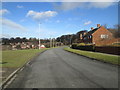
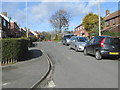
5
Ramshead Drive - viewed from Ramshead Approach
Image: © Betty Longbottom
Taken: 17 Feb 2015
0.07 miles
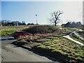
7
Eastdean Drive - viewed from Eastdean Road
Image: © Betty Longbottom
Taken: 17 Feb 2015
0.10 miles
8
Steps from Kentmere Avenue to Ramshead Drive
The path connects two otherwise poorly connected housing estates.
Image: © Stephen Craven
Taken: 24 Feb 2024
0.11 miles
9
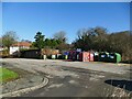
Recyling facilities behind the shops on Kentmere Avenue
Note also the lockup garages.
Image: © Stephen Craven
Taken: 24 Feb 2024
0.11 miles