
IMAGES TAKEN NEAR TO
Park Rise, LEEDS, LS13 2HH
Introduction
This page details the photographs taken nearby to Park Rise, LS13 2HH by members of the Geograph project.
The Geograph project started in 2005 with the aim of publishing, organising and preserving representative images for every square kilometre of Great Britain, Ireland and the Isle of Man.

There are currently over 7.5m images from over14,400 individuals and you can help contribute to the project by visiting https://www.geograph.org.uk
Image Map
Images are licensed for reuse under creativecommons.org/licenses/by-sa/2.0
Notes
- Clicking on the map will re-center to the selected point.
- The higher the marker number, the further away the image location is from the centre of the postcode.
Image Listing (353 Images Found)
Images are licensed for reuse under creativecommons.org/licenses/by-sa/2.0
Image
Details
Distance
2
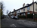
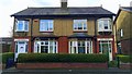
Hill Rise Avenue
Unlike the adjacent Hill Rise Grove Image this is a private (unadopted) road, which hasn't stopped the city council designating it a 20mph zone. There are three pairs of Edwardian semi-detached houses on the west side only. See also Image
Image: © Stephen Craven
Taken: 2 Mar 2021
0.02 miles

6
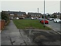
Green space on Hill Rise Grove
A small, roughly triangular patch of grass presumably intended as a play area.
Image: © Stephen Craven
Taken: 2 Mar 2021
0.05 miles
7
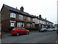
Older houses on Hill Rise Grove
Hill Rise Grove now extends southwards to join Park Road, but looking at the 1921 map it originally only extended this far, with three pairs of Edwardian semi-detached houses on each side. Most of them have individual names, those on this west side being 'The Chalet', 'Hillcrest', Ardilawn', 'Kirklea', 'Rosegarth' and 'Hillsboro' (the latter a name that surely no-one would give their house now!)
Image: © Stephen Craven
Taken: 2 Mar 2021
0.05 miles
10
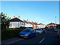
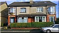
Houses on Moorside Drive
A dead-end street off Broad Lane.
Image: © Stephen Craven
Taken: 20 May 2020
0.05 miles