IMAGES TAKEN NEAR TO
Rhydwyn, HOLYHEAD, LL65 4HB
Introduction
This page details the photographs taken nearby to LL65 4HB by members of the Geograph project.
The Geograph project started in 2005 with the aim of publishing, organising and preserving representative images for every square kilometre of Great Britain, Ireland and the Isle of Man.

There are currently over 7.5m images from over14,400 individuals and you can help contribute to the project by visiting https://www.geograph.org.uk
Image Map
Images are licensed for reuse under creativecommons.org/licenses/by-sa/2.0
Notes
- Clicking on the map will re-center to the selected point.
- The higher the marker number, the further away the image location is from the centre of the postcode.
Image Listing (12 Images Found)
Images are licensed for reuse under creativecommons.org/licenses/by-sa/2.0
Image
Details
Distance
2
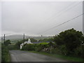
Road past Parcnewydd
Start of footpath can be seen. Between Grugmor and Borthwen
Image: © John Firth
Taken: 4 Oct 2011
0.07 miles
3
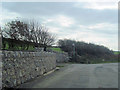
Entrance to the campsite
The hill in the background is Mynydd-y-garn.
Image: © Eric Jones
Taken: 4 Jul 2009
0.08 miles
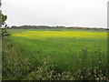
5
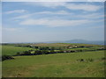
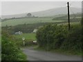
View SW across the countryside south of Melin Drylliau mill
Image: © Eric Jones
Taken: 26 Jun 2009
0.14 miles
6
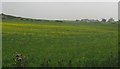
View southwards across cropland with Plas y Gwynt Farm in the background
Image: © Eric Jones
Taken: 4 Jul 2009
0.15 miles
7
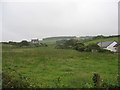
View inland along the Crugmor Valley
The Carreglwyd woodlands can be seen on the skyline.
Image: © Eric Jones
Taken: 4 Jul 2009
0.15 miles
8
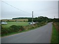
Campsite
Taken from SH302884 looking SSE down the road. A camp site can be seen on the left of the image. The Camp site does not appear on the OS maps for this area so I assume it is a relatively new feature.
Image: © Dave Smethurst
Taken: 15 Aug 2005
0.17 miles
9
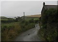
Private road to Porth Crugmor
Public rights of way for walkers exist along this road.
Image: © Eric Jones
Taken: 4 Jul 2009
0.21 miles