Campsite
Introduction
The photograph on this page of Campsite by Dave Smethurst as part of the Geograph project.
The Geograph project started in 2005 with the aim of publishing, organising and preserving representative images for every square kilometre of Great Britain, Ireland and the Isle of Man.

There are currently over 7.5m images from over 14,400 individuals and you can help contribute to the project by visiting https://www.geograph.org.uk
Campsite
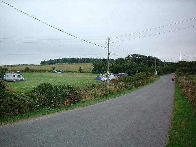
Image: © Dave Smethurst Taken: 15 Aug 2005
Taken from SH302884 looking SSE down the road. A camp site can be seen on the left of the image. The Camp site does not appear on the OS maps for this area so I assume it is a relatively new feature.
Images are licensed for reuse under creativecommons.org/licenses/by-sa/2.0
Image Location


Leaflet Map data © OpenStreetMap
Latitude
53.36611
Longitude
-4.54892