
IMAGES TAKEN NEAR TO
RHOSNEIGR, LL64 5YZ
Introduction
This page details the photographs taken nearby to LL64 5YZ by members of the Geograph project.
The Geograph project started in 2005 with the aim of publishing, organising and preserving representative images for every square kilometre of Great Britain, Ireland and the Isle of Man.

There are currently over 7.5m images from over14,400 individuals and you can help contribute to the project by visiting https://www.geograph.org.uk
Image Map
Images are licensed for reuse under creativecommons.org/licenses/by-sa/2.0
Notes
- Clicking on the map will re-center to the selected point.
- The higher the marker number, the further away the image location is from the centre of the postcode.
Image Listing (72 Images Found)
Images are licensed for reuse under creativecommons.org/licenses/by-sa/2.0
Image
Details
Distance
2
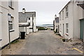
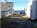
Private Road in Rhosneigr
No access to the beach for the public down this road from High Street. In the distance can be seen the rocks of Ynys Feirig in Cymyran Bay.
Image: © Jeff Buck
Taken: 17 May 2016
0.01 miles
3
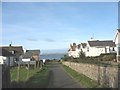
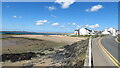
Lane leading from the High Street to the beach
Image: © Eric Jones
Taken: 14 Nov 2008
0.02 miles
4
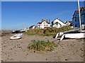
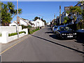
Lovely weather for October
Day trip to Rhosneigr
Image: © Bob Abell
Taken: 25 Oct 2010
0.03 miles
6
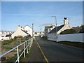
The lower end of the High Street, Rhosneigr
Image: © Eric Jones
Taken: 14 Nov 2008
0.04 miles
8
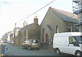
Capel a Ty Capel Paran
The present Welsh Calvinistic Methodist chapel and chapel house date from 1887. The Calvinists however had had a Sunday School building, a branch of Bryn Du Chapel, on the site since the beginning of the 19thC. In 1850 this was replaced by a small chapel, although it had neither seats or a pulpit until 1867. During the WWII part of the chapel was used for billeting troops. Paran remains open.
Image: © Eric Jones
Taken: 14 Nov 2008
0.06 miles
9
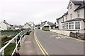
High Street, Rhosneigr
Looking north from the southern end of High Street. This is also the route of the Anglesey Coastal Path as it passes through Rhosneigr.
Image: © Jeff Buck
Taken: 17 May 2016
0.06 miles
10
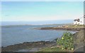
View north-westwards across the beach at high tide
Image: © Eric Jones
Taken: 14 Nov 2008
0.07 miles