
IMAGES TAKEN NEAR TO
Magnolia Court, RHYL, LL18 4JU
Introduction
This page details the photographs taken nearby to Magnolia Court, LL18 4JU by members of the Geograph project.
The Geograph project started in 2005 with the aim of publishing, organising and preserving representative images for every square kilometre of Great Britain, Ireland and the Isle of Man.

There are currently over 7.5m images from over14,400 individuals and you can help contribute to the project by visiting https://www.geograph.org.uk
Image Map
Images are licensed for reuse under creativecommons.org/licenses/by-sa/2.0
Notes
- Clicking on the map will re-center to the selected point.
- The higher the marker number, the further away the image location is from the centre of the postcode.
Image Listing (9 Images Found)
Images are licensed for reuse under creativecommons.org/licenses/by-sa/2.0
Image
Details
Distance
1
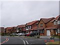
Ffordd Anwyl Rhyl
Ffordd Anwyl - housing state in Rhyl named after the local builder
Image: © Dot Potter
Taken: 23 Jul 2005
0.07 miles
2
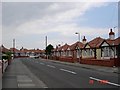
Rhyl housing
1950's bungalows near the seafront in Rhyl
Image: © Dot Potter
Taken: 26 Jul 2005
0.07 miles
3
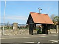
Maeshyfryd Cemetery, Rhyl
Entrance to the cemetery on Dyserth Road. To the south of the road there is another larger section of cemetery.
Image: © Eirian Evans
Taken: 2 May 2012
0.13 miles
4
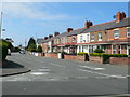
Terraced housing on Larkmount Road, Rhyl
Image: © Eirian Evans
Taken: 2 May 2012
0.13 miles
5
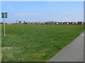
Tynewydd Road Playing Field
A large patch of green in the middle of housing developments - there are roumours
that it is going to be developed into a multi-use sports centre, with Rhyl Rugby Club relocating here.
Image: © Eirian Evans
Taken: 2 May 2012
0.17 miles
8
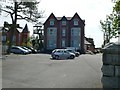
Canterbury House, Rhyl
Canterbury House provides dementia nursing and residential care and support.
Image: © Eirian Evans
Taken: 2 May 2012
0.20 miles
9
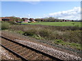
View from a Chester-Holyhead train - Housing around a playing field
Image: © Nigel Thompson
Taken: 2 May 2018
0.22 miles