Tynewydd Road Playing Field
Introduction
The photograph on this page of Tynewydd Road Playing Field by Eirian Evans as part of the Geograph project.
The Geograph project started in 2005 with the aim of publishing, organising and preserving representative images for every square kilometre of Great Britain, Ireland and the Isle of Man.

There are currently over 7.5m images from over 14,400 individuals and you can help contribute to the project by visiting https://www.geograph.org.uk
Tynewydd Road Playing Field
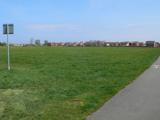
Image: © Eirian Evans Taken: 2 May 2012
A large patch of green in the middle of housing developments - there are roumours that it is going to be developed into a multi-use sports centre, with Rhyl Rugby Club relocating here.
Images are licensed for reuse under creativecommons.org/licenses/by-sa/2.0
Image Location
Latitude
53.322815
Longitude
-3.468239