
IMAGES TAKEN NEAR TO
Croesnewydd Road, WREXHAM, LL13 7TB
Introduction
This page details the photographs taken nearby to Croesnewydd Road, LL13 7TB by members of the Geograph project.
The Geograph project started in 2005 with the aim of publishing, organising and preserving representative images for every square kilometre of Great Britain, Ireland and the Isle of Man.

There are currently over 7.5m images from over14,400 individuals and you can help contribute to the project by visiting https://www.geograph.org.uk
Image Map
Images are licensed for reuse under creativecommons.org/licenses/by-sa/2.0
Notes
- Clicking on the map will re-center to the selected point.
- The higher the marker number, the further away the image location is from the centre of the postcode.
Image Listing (168 Images Found)
Images are licensed for reuse under creativecommons.org/licenses/by-sa/2.0
Image
Details
Distance
1
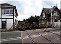
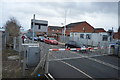
Watery Road level crossing, Wrexham
Croesnewydd North Fork Signalbox http://www.geograph.org.uk/photo/5129904 is on the left.
The former Crossing Keeper's Cottage http://www.geograph.org.uk/photo/5129908 is on the right.
Image: © Jaggery
Taken: 24 Sep 2016
0.00 miles
2
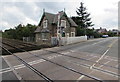
Former Crossing Keeper's Cottage at Croesnewydd North Fork, Wrexham
Located opposite Croesnewydd North Fork Signalbox, http://www.geograph.org.uk/photo/5129904 the cottage was built c1846 for the Shrewsbury and Chester Railway Company. Grade II listed in 1994.
Image: © Jaggery
Taken: 24 Sep 2016
0.00 miles
4
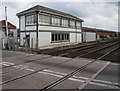
Croesnewydd North Fork Signalbox, Wrexham
Viewed across the Watery Road level crossing.
Image: © Jaggery
Taken: 24 Sep 2016
0.01 miles
6
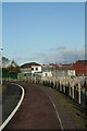
No Home Signal Visible
This is the view that the footplate men would have had as they exited the Minera branch line on to the Shrewsbury to Chester main line.
Image: © Geoff Evans
Taken: 26 Jan 2012
0.02 miles
7
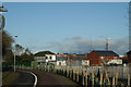
Croesnewydd South Signal Box
The view that footplate staff would have had of the approach to the crossing gates operated by the signal box. No sign of the Permanent Way controlled by the box, but there is still a dual track connecting Wrexham and Shrewsbury which passes immediately in front of the box.
Image: © Geoff Evans
Taken: 7 Feb 2012
0.02 miles
8
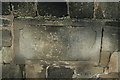
Faintly Remembered!
This rarely seen stone,passed every day by hundreds of people attending the local hospital, recalls the original site of the former Cobden Mills in Watery Road.
Image: © Geoff Evans
Taken: 26 Jan 2012
0.03 miles
9
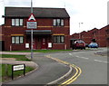
Warning sign - humps for 300 yards, Llys David Lord, Wrexham
Facing Watery Road, the sign is at the northern end of Llys David Lord.
Image: © Jaggery
Taken: 24 Sep 2016
0.03 miles
10
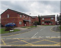
Llys David Lord, Wrexham
Houses on the south side of Watery Road.
Image: © Jaggery
Taken: 24 Sep 2016
0.04 miles