Watery Road level crossing, Wrexham
Introduction
The photograph on this page of Watery Road level crossing, Wrexham by Jaggery as part of the Geograph project.
The Geograph project started in 2005 with the aim of publishing, organising and preserving representative images for every square kilometre of Great Britain, Ireland and the Isle of Man.

There are currently over 7.5m images from over 14,400 individuals and you can help contribute to the project by visiting https://www.geograph.org.uk
Watery Road level crossing, Wrexham
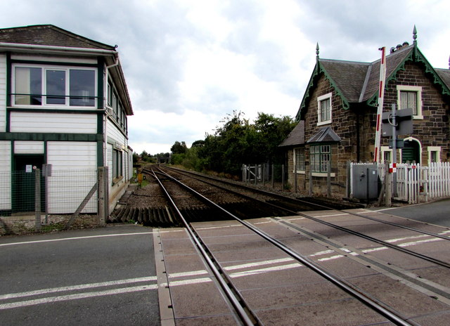
Image: © Jaggery Taken: 24 Sep 2016
Croesnewydd North Fork Signalbox http://www.geograph.org.uk/photo/5129904 is on the left. The former Crossing Keeper's Cottage http://www.geograph.org.uk/photo/5129908 is on the right.
Images are licensed for reuse under creativecommons.org/licenses/by-sa/2.0
Image Location
Latitude
53.046264
Longitude
-3.003693