IMAGES TAKEN NEAR TO
Beechwood Close, LEICESTER, LE5 6SY
Introduction
This page details the photographs taken nearby to Beechwood Close, LE5 6SY by members of the Geograph project.
The Geograph project started in 2005 with the aim of publishing, organising and preserving representative images for every square kilometre of Great Britain, Ireland and the Isle of Man.

There are currently over 7.5m images from over14,400 individuals and you can help contribute to the project by visiting https://www.geograph.org.uk
Image Map (Loading...)


Getting Data...Please wait
Leaflet Map data © OpenStreetMap
Images are licensed for reuse under creativecommons.org/licenses/by-sa/2.0
Notes
- Clicking on the map will re-center to the selected point.
- The higher the marker number, the further away the image location is from the centre of the postcode.
Image Listing (11 Images Found)
Images are licensed for reuse under creativecommons.org/licenses/by-sa/2.0
Image
Details
Distance
2
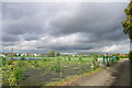
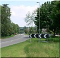
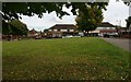
Davenport Road Playing Fields, Leicester
Tennis courts (left) in need of urgent attention!
Image: © Tim Heaton
Taken: 6 Oct 2020
0.12 miles
4
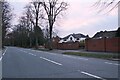
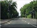
Spencefield Lane in Evington, Leicester
Image: © Mat Fascione
Taken: 5 Jul 2014
0.14 miles
5
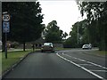
Pedestrian crossing on the A47, Thurnby
Image: © Peter Whatley
Taken: 28 Jul 2013
0.16 miles
9
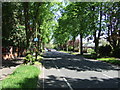
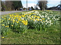
Green space at Brent Knowle Gardens, Leicester
Image: © Mat Fascione
Taken: 18 Sep 2017
0.23 miles
10
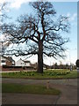
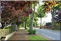
Landmark Tree, Uppingham Road, Leicester
A mature oak stands proudly on the roadside of the A47.
Image: © Michael Trolove
Taken: 24 Mar 2008
0.24 miles