
IMAGES TAKEN NEAR TO
Castle View, KENDAL, LA8 0JL
Introduction
This page details the photographs taken nearby to Castle View, LA8 0JL by members of the Geograph project.
The Geograph project started in 2005 with the aim of publishing, organising and preserving representative images for every square kilometre of Great Britain, Ireland and the Isle of Man.

There are currently over 7.5m images from over14,400 individuals and you can help contribute to the project by visiting https://www.geograph.org.uk
Image Map
Images are licensed for reuse under creativecommons.org/licenses/by-sa/2.0
Notes
- Clicking on the map will re-center to the selected point.
- The higher the marker number, the further away the image location is from the centre of the postcode.
Image Listing (19 Images Found)
Images are licensed for reuse under creativecommons.org/licenses/by-sa/2.0
Image
Details
Distance

2
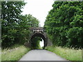
Railway bridge
Carries the London to Glasgow railway over a "C" class road east of Sedgewick
Image: © Alexander P Kapp
Taken: 27 Jun 2008
0.08 miles
3
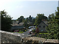
Sedgwick
The village of Sedgwick from the viaduct
Image: © mauldy
Taken: 16 Sep 2006
0.11 miles
5
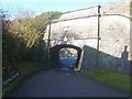
Sedgwick Aqueduct
From the east. Takes the now disused canal through Sedgwick. It is a listed structure.
Image: © Michael Graham
Taken: 1 Mar 2010
0.18 miles

7
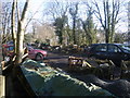
Lancaster Canal
The old disused canal suffers abuse on the mean streets of Sedgwick
Image: © Michael Graham
Taken: 1 Mar 2010
0.18 miles
8

Sedgwick Aqueduct
Carries the now disused and fairly dry Lancaster Canal over the main road through the village. This is the eastern (no towpath) side.
Image: © Ian Taylor
Taken: 3 Nov 2013
0.20 miles
9
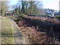
Sedgwick Aqueduct
Bridge 178, Lancaster Canal a skew Aqueduct
Image: © Michael Graham
Taken: 1 Mar 2010
0.20 miles
10
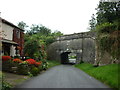
The Sedgwick Aqueduct
On the former Lancaster Canal, Northern Reaches
Image: © Ian S
Taken: 8 Sep 2012
0.20 miles