
IMAGES TAKEN NEAR TO
Hayeswater Drive, DALTON-IN-FURNESS, LA15 8HA
Introduction
This page details the photographs taken nearby to Hayeswater Drive, LA15 8HA by members of the Geograph project.
The Geograph project started in 2005 with the aim of publishing, organising and preserving representative images for every square kilometre of Great Britain, Ireland and the Isle of Man.

There are currently over 7.5m images from over14,400 individuals and you can help contribute to the project by visiting https://www.geograph.org.uk
Image Map
Images are licensed for reuse under creativecommons.org/licenses/by-sa/2.0
Notes
- Clicking on the map will re-center to the selected point.
- The higher the marker number, the further away the image location is from the centre of the postcode.
Image Listing (75 Images Found)
Images are licensed for reuse under creativecommons.org/licenses/by-sa/2.0
Image
Details
Distance
1

Ordnance Survey Cut Mark
This OS cut mark can be found on the wall west side of Cemetery Hill. It marks a point 59.260m above mean sea level.
Image: © Adrian Dust
Taken: 15 Oct 2019
0.03 miles
2
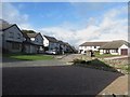
Devoke Water Gardens, Dalton-in-Furness
A development of large houses.
Image: © Graham Robson
Taken: 3 Nov 2014
0.06 miles
3

Chapel, Dalton Cemetery
The chapel in Dalton Cemetery is now used as an Orthodox Church.
Image: © Graham Robson
Taken: 3 Nov 2014
0.09 miles
4
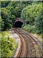
Dalton Tunnel
The south portal of Dalton Tunnel.
Image: © Peter McDermott
Taken: 3 Sep 2021
0.09 miles
5

Graves, Dalton-in-Furness Cemetery
An area of old burials in Dalton-in-Furness Cemetery.
Image: © Graham Robson
Taken: 3 Nov 2014
0.09 miles

7
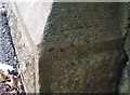
Ordnance Survey Cut Mark
This OS cut mark can be found on the cemetery gatepost. It marks a point 38.016m above mean sea level.
Image: © Adrian Dust
Taken: 15 Oct 2019
0.11 miles
8
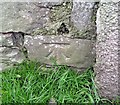
Ordnance Survey Cut Mark
This OS cut mark can be found on the wall of No1 The Green. It marks a point 29.893m above mean sea level.
Image: © Adrian Dust
Taken: 15 Oct 2019
0.11 miles
9
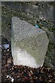
Old Milestone, on an unclassified road (was A590), Dalton cemetery
Located on the East side of road, against wall in pavement. Carved stone post, Lancs CC stone triangle design, erected by the County Council, 19th/20th century. Alternative views see https://www.geograph.org.uk/photo/6298136
Inscription reads: // BARROW 3¾ MLS //TO / DALTON ½ MILE / ULVERSTON 5 MLS / GRANGE 20¾ / KENDAL 31 / LANCASTER 42 //DALTON //.
Milestone Society National ID: LA_LABA42
Image: © Colin Smith
Taken: 25 Nov 2010
0.12 miles
10
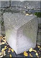
Milestone - Kendal 31
East side of the road.
Image: © Adrian Dust
Taken: 15 Oct 2019
0.12 miles