IMAGES TAKEN NEAR TO
Cark In Cartmel, GRANGE-OVER-SANDS, LA11 7NS
Introduction
This page details the photographs taken nearby to LA11 7NS by members of the Geograph project.
The Geograph project started in 2005 with the aim of publishing, organising and preserving representative images for every square kilometre of Great Britain, Ireland and the Isle of Man.

There are currently over 7.5m images from over14,400 individuals and you can help contribute to the project by visiting https://www.geograph.org.uk
Image Map
Images are licensed for reuse under creativecommons.org/licenses/by-sa/2.0
Notes
- Clicking on the map will re-center to the selected point.
- The higher the marker number, the further away the image location is from the centre of the postcode.
Image Listing (41 Images Found)
Images are licensed for reuse under creativecommons.org/licenses/by-sa/2.0
Image
Details
Distance
1
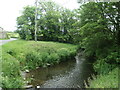
River Eea, from Rosthwaite Bridge
Looking downstream [locally south]. The grassy triangle is shown as a pinfold on the 1847 large-scale OS map.
Image: © Christine Johnstone
Taken: 9 Jun 2021
0.06 miles
2
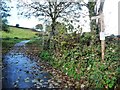
'Take the bridleway track to the left'
From 'Walks from the Furness Line, Walk 5'. This connects Cark and Cartmel via Low Bank Side as is mapped as an 'other route with public access'.
Image: © Christine Johnstone
Taken: 10 Nov 2016
0.06 miles
4

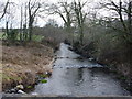
'Rising up to the woodland', north of Cark
From 'Walks from the Furness Line, Walk 5'.
Image: © Christine Johnstone
Taken: 10 Nov 2016
0.08 miles
5

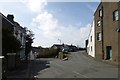
Road to Cartmel
Looking along the road to Cartmel from Cark.
Image: © DS Pugh
Taken: 25 Mar 2016
0.09 miles
6

Former Lancashire police house, Cark
On the road to Cartmel, at the north-east end of the village.
Image: © Christine Johnstone
Taken: 10 Nov 2016
0.10 miles
7
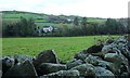
Rostead, on the road to Cartmel
At the north-east edge of Cark.
Image: © Christine Johnstone
Taken: 10 Nov 2016
0.11 miles
9
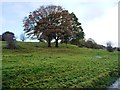
Autumn trees, west valley side of the River Eea
This is mapped as woodland, but the trees are quite sparse.
Image: © Christine Johnstone
Taken: 10 Nov 2016
0.14 miles