IMAGES TAKEN NEAR TO
Lochlibo Road, BEITH, KA15 1LH
Introduction
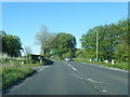
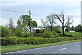
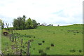
This page details the photographs taken nearby to Lochlibo Road, KA15 1LH by members of the Geograph project.
The Geograph project started in 2005 with the aim of publishing, organising and preserving representative images for every square kilometre of Great Britain, Ireland and the Isle of Man.

There are currently over 7.5m images from over14,400 individuals and you can help contribute to the project by visiting https://www.geograph.org.uk
Image Map
Images are licensed for reuse under creativecommons.org/licenses/by-sa/2.0
Notes
- Clicking on the map will re-center to the selected point.
- The higher the marker number, the further away the image location is from the centre of the postcode.
Image Listing (10 Images Found)
Images are licensed for reuse under creativecommons.org/licenses/by-sa/2.0
Image
Details
Distance
10
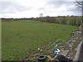
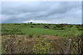
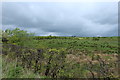
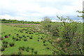
Field beside A736
Just below a relatively new lay by on the A736. The fence has fallen down and there is some fly tipping evident. Stirling's Highgate Farm in the top left. Typical farmland in this area.
Image: © wfmillar
Taken: 27 Mar 2009
0.20 miles