Field beside A736
Introduction
The photograph on this page of Field beside A736 by wfmillar as part of the Geograph project.
The Geograph project started in 2005 with the aim of publishing, organising and preserving representative images for every square kilometre of Great Britain, Ireland and the Isle of Man.

There are currently over 7.5m images from over 14,400 individuals and you can help contribute to the project by visiting https://www.geograph.org.uk
Field beside A736
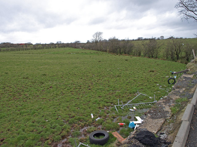
Image: © wfmillar Taken: 27 Mar 2009
Just below a relatively new lay by on the A736. The fence has fallen down and there is some fly tipping evident. Stirling's Highgate Farm in the top left. Typical farmland in this area.
Images are licensed for reuse under creativecommons.org/licenses/by-sa/2.0
Image Location


Leaflet Map data © OpenStreetMap
Latitude
55.730194
Longitude
-4.559379