IMAGES TAKEN NEAR TO
Dreghorn, IRVINE, KA11 4HJ
Introduction
This page details the photographs taken nearby to KA11 4HJ by members of the Geograph project.
The Geograph project started in 2005 with the aim of publishing, organising and preserving representative images for every square kilometre of Great Britain, Ireland and the Isle of Man.

There are currently over 7.5m images from over14,400 individuals and you can help contribute to the project by visiting https://www.geograph.org.uk
Image Map
Images are licensed for reuse under creativecommons.org/licenses/by-sa/2.0
Notes
- Clicking on the map will re-center to the selected point.
- The higher the marker number, the further away the image location is from the centre of the postcode.
Image Listing (71 Images Found)
Images are licensed for reuse under creativecommons.org/licenses/by-sa/2.0
Image
Details
Distance
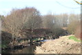
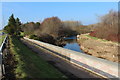
1
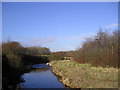
Riverbank
The Annick Water photographed from the Irvine New Town Trail.
Image: © Chris Court
Taken: 18 Feb 2006
0.00 miles
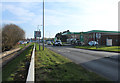
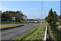
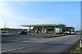
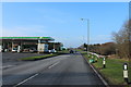
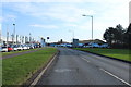
6
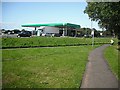
Filling station, Newmoor Interchange
View into a complicated road junction from beside the Annick Water on route 73 of the National Cycle Network.
Image: © Richard Webb
Taken: 9 Sep 2009
0.03 miles