Riverbank
Introduction
The photograph on this page of Riverbank by Chris Court as part of the Geograph project.
The Geograph project started in 2005 with the aim of publishing, organising and preserving representative images for every square kilometre of Great Britain, Ireland and the Isle of Man.

There are currently over 7.5m images from over 14,400 individuals and you can help contribute to the project by visiting https://www.geograph.org.uk
Riverbank
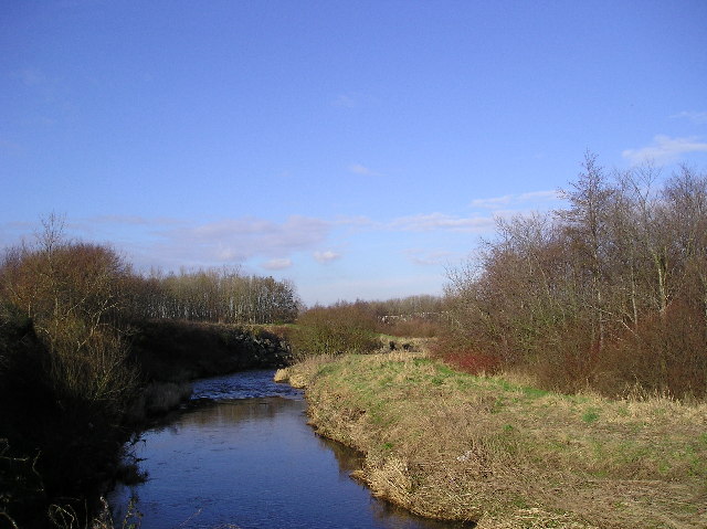
Image: © Chris Court Taken: 18 Feb 2006
The Annick Water photographed from the Irvine New Town Trail.
Images are licensed for reuse under creativecommons.org/licenses/by-sa/2.0
Image Location
Latitude
55.608971
Longitude
-4.638492