
IMAGES TAKEN NEAR TO
Wades Lane, IPSWICH, IP9 1EW
Introduction
This page details the photographs taken nearby to Wades Lane, IP9 1EW by members of the Geograph project.
The Geograph project started in 2005 with the aim of publishing, organising and preserving representative images for every square kilometre of Great Britain, Ireland and the Isle of Man.

There are currently over 7.5m images from over14,400 individuals and you can help contribute to the project by visiting https://www.geograph.org.uk
Image Map
Images are licensed for reuse under creativecommons.org/licenses/by-sa/2.0
Notes
- Clicking on the map will re-center to the selected point.
- The higher the marker number, the further away the image location is from the centre of the postcode.
Image Listing (12 Images Found)
Images are licensed for reuse under creativecommons.org/licenses/by-sa/2.0
Image
Details
Distance
1
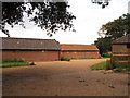
Luxury barns
These former farm buildings have been converted for use as luxury holiday accommodation, marketed as "Orwell View Barns".
Image: © Roger Jones
Taken: 19 Jul 2011
0.02 miles
3
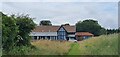
Hill House Farm, Suffolk
A view of Hill House Farm, with its commanding view over Lower Reach on the River Orwell.
Image: © Rebecca A Wills
Taken: 11 Jul 2021
0.05 miles
4
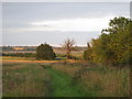
Semi clad tree near the Orwell
The almost setting sun gives an unusual hue to this partially leaved oak tree near the Orwell. In the background a few cows graze on the marsh.
Image: © Roger Jones
Taken: 19 Jul 2011
0.18 miles
5
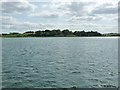
Man's Cliff, from the north
Rising 20 metres from the tidal River Orwell.
Image: © Christine Johnstone
Taken: 12 Jul 2017
0.18 miles
6
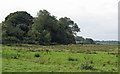
Looking towards the wooded section of Man's Cliff
Image: © Roger Jones
Taken: 25 Sep 2011
0.19 miles
7
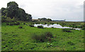
Pond on farmland near Man's Cliff
Possibly a temporary pond as it is not marked on the OS map.
Image: © Roger Jones
Taken: 25 Sep 2011
0.20 miles
8
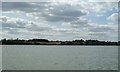
Farmland on the south-west bank of the River Orwell
The isolated wood is called Twelve Acre Covert.
Image: © Christine Johnstone
Taken: 12 Jul 2017
0.20 miles
9
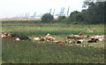
Cattle and reeds behind the Orwell embankment
The corner of the wood shown on the map can be seen, and Felixstowe docks in the distance.
Image: © Andrew Hill
Taken: 29 Aug 2008
0.22 miles
10
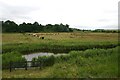
Chelmondiston Marsh
Low-lying grazing land to the south of the River Orwell. The higher ground in the distance is Man's Cliff.
Image: © Bob Jones
Taken: 12 Jul 2007
0.23 miles